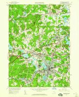
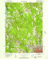
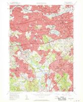
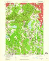
Gloucester Map Collection
Item set
- Description
- Type
-
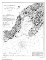
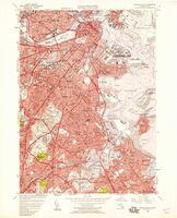
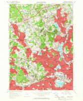
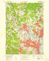
Gloucester has a variety of maps and atlases in its collection. Some maps are of local interest, including street maps and maps of local landmarks and sites of interest. There are also geological maps of Massachusetts and nautical charts of the New England coast.
-
Maps
Items
-
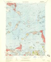
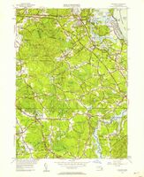 Cohasset quadrangle, Massachusetts / Mapped, edited, and published by the Geological Survey View map in pdf format
 -
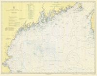 Bay of Fundy to Cape Cod View map in pdf format
 -
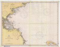 Massachusetts Bay View map in pdf format
 -
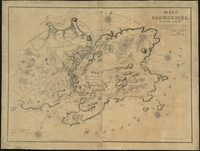
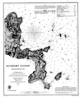 Rockport Harbor, Massachusetts View map in pdf format
 -
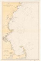 Cape Elizabeth to Cape Cod View map in pdf format
 -
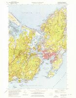 Gloucester quadrangle, Massachusetts / Mapped, edited and published by the Geological Survey View map in pdf format
 -
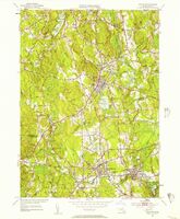
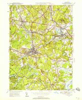 Maynard quadrangle, Massachusetts / Mapped, edited and published by the Geological Survey View map in pdf format
 -
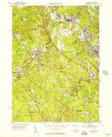 Uxbridge quadrangle, Massachusetts / Mapped, edited and published by the Geological Survey View map in pdf format
 -
 Weymouth quadrangle, Massachusetts / Mapped, edited and published by the Geological Survey View map in pdf format
 -
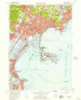 Lynn quadrangle, Massachusetts / Mapped, edited and published by the Geological Survey. View map in pdf format
 -
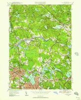 Massachusetts Reading quadrangle / Mapped, edited, and published by the Geological Survey View map in pdf format
 -
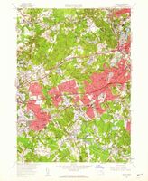 Natick quadrangle, Massachusetts / Mapped, edited, and published by the Geological Survey View map in pdf format
 -
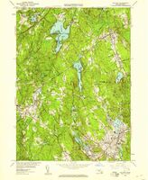 Milford quadrangle, Massachusetts / Mapped, edited, and published by the Geological Survey View map in pdf format
 -
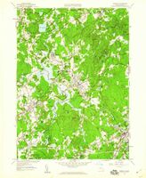 Medfield quadrangle, Massachusetts / Mapped, edited, and published by the Geological Survey View map in pdf format
 -
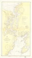
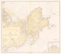 Ipswich Bay to Gloucester Harbor View map in pdf format format View map in pdf format
 -
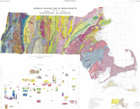 Bedrock geologic map of Massachusetts View map in pdf format format View map in pdf format

